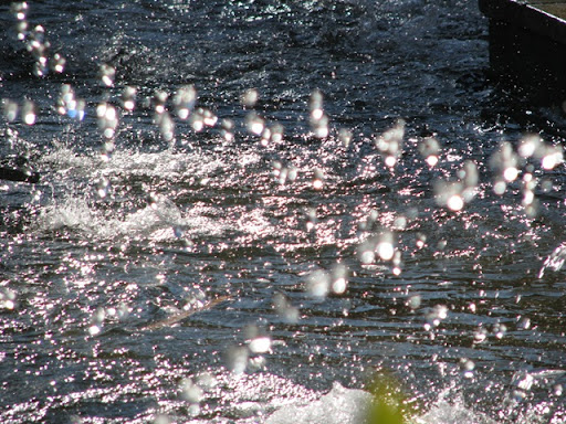
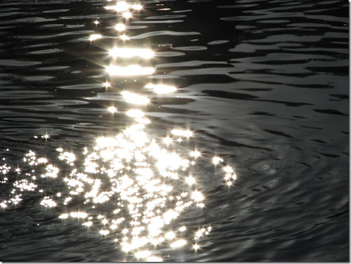
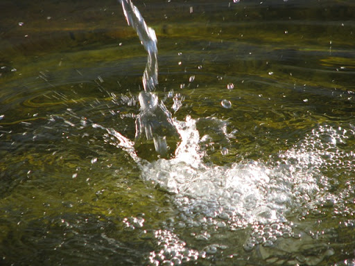
The sun effect on the water.
O efeito do sol na água.


The hard life in the Mexican beaches. Hotel Paradisus Riviera Maya.
A vida dura, nas praias mexicanas. Hotel Paradisus Riviera Maya.


One cenote near Chichen Itza.
Um cenote perto de Chichen Itza.


Norteinho | Funny But... | Look the Photo
Sacred Well (Cenote)
Poço Sagrado (Cenote)


Cenotes are surface connections to subterranean water bodies [1]. While the most well-known cenotes are large open water pools measuring tens of metres in diameter, such as those at Chichén Itzá, the greatest number of cenotes are smaller sheltered sites and do not necessarily have any surface exposed water. The term cenote has also been used to describe similar karst features in other countries such as Cuba and Australia, in addition to the more generic term of sinkholes.
Cenote water is often very clear, as the water comes from rain water infiltrating slowly through the ground, and therefore contains very little suspended particulate matter. The groundwater flow rate within a cenote may be very slow at velocities ranging from 1 to 1000 meters per year. In many cases, cenotes are areas where sections of cave roof have collapsed revealing an underlying cave system and the water flow rates here may be much faster: up to 10,000 meters per day[2]. Cenotes around the world attract cave divers who have documented extensive flooded cave systems through them, some of which have been explored for lengths of 100 kilometers or more.
Cenotes have long been the principal sources of water in much of the Yucatán Peninsula. The region has almost no rivers and only a few lakes, often marshy. Cenotes are widely distributed, and supply better-quality water year-round. Major Maya settlements required access to adequate water supplies, and therefore cities, including the famous Chichén Itzá, were built around these natural wells. Some cenotes like the Cenote of Sacrifice in Chichén Itzá played an important role in Maya rites. Believing that these pools were gateways to the other world, the Maya sometimes threw valuable items into them. The discovery of golden sacrificial artifacts in some cenotes led to the archaeological exploration of most cenotes in the first part of the 20th century. Edward Herbert Thompson, an American diplomat who had bought the Chichén Itzá site, began dredging the Sacred Cenote there in 1904. He discovered human skeletons and sacrificial objects confirming a local legend, the Cult of the Cenote, involving human sacrifice to the rain gods (Chaacs) by ritual casting of victims and objects into the cenote.
Font: Wikipédia.Sky, sea and sand - Photo taken in S. Jacinto, Portugal.
Céu, mar e areia - Fotografia tirada em S. Jacinto, Portugal.
The ens of the day in London, in the bridge betwen the St. Paul Catedral and the Tate Museum. Even the beautiful days comes to a end.
O fim do dia em Londres, na ponte entre a Catedral de São Paulo e o Museu Tate. Mesmo os lindos dias chegam ao seu fim.
St. Paul Cathedral. Tate Gallery.
The fantastic color of the beach in Cancun, Mexico.
A fantástica cor da praia, em Cancun, México.

In Empire Square, near Jerónimos Monastery, Belém Cultural Center, in Lisbon, Portugal.
Na Praça do Império, perto do Mosteiro dos Jerónimos, Centro Cultural de Belém, em Lisboa, Portugal. 
Map.
The paradise, should be something like this. Isla Saona, Dominican Republic.
O paraíso, deve ser parecido com isto. Ilha Saona, República Dominicana.

Maps: Isla Saona. Dominican Republic.


Mais uma vez o Rio Leça leva uma descarga de poluição. Estas fotografias de do dia 02.12.2007. A espuma não deixa margem para dúvidas, quando não é isto é o cheiro insuportável. Segundo os moradores da zona de Águas Santas a poluição acentua-se desde o ponto que podem ver na imagem abaixo no mapa, que curiosamente coincide com uma ETAR, junto ao centro comercial Maiashopping. Como é estranho, se a ETAR devia impedir exactamente isto, mas isto é caso frequente. Não há autoridades que vejam isto? Que possam ver afinal o que se passa?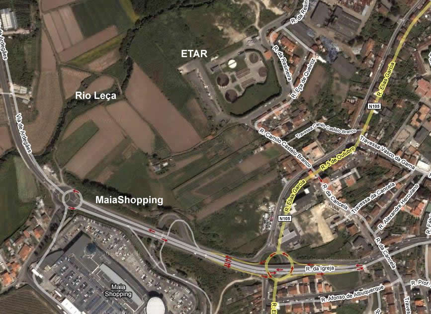


O Mapa da Etar.
View Larger Map
O Mapa do local da fotografias.
View Larger Map


